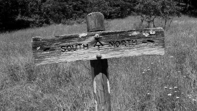
AT sign in a meadow

No one said it would be easy, but no one said it'd be this hard

Day 54, Campsite at Mile 688 to VA 624

Saturday, June 3, 2017

After an invigorating and occasionally challenging day, I was ready to take on another.

I was still motivated and hopeful to reach Four Pines Hostel early enough to catch a ride to The Homeplace Restaurant for dinner tonight, so I was up early. I left camp at 7:30 a.m.

Weather Clear sky, warming to mid 80s
Trail Conditions Several sections with rocks, extremely difficult descent from Dragon's Tooth
Today's Miles 14.3 miles
Trip Miles 702.3 miles

My plan was to arrive at Four Pines by 3:30 or 4 p.m. I wasn’t sure when a shuttle would be headed to The Homeplace, but I figured getting there early would improve my chances of getting a ride.

I was really looking forward to this day.

And I had no idea what I was getting myself into.

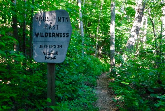
Entering Brush Mountain Wilderness Area

The trail started with a long climb up Brush Mountain and into the wilderness area of the same name. It was sometimes steep, but not too difficult.

I was making good time so far.

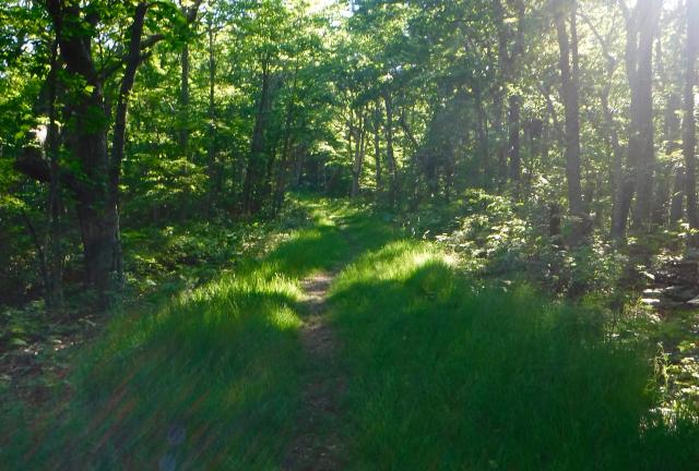
Grassy road

As the trail got closer to the top, it turned and followed the path of a former road, now lined in thick grass.

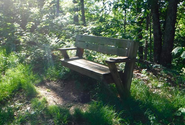
Bench

At a couple spots, benches had been provided for a pleasant spot to rest, or to just sit and think. I didn’t have time for either.

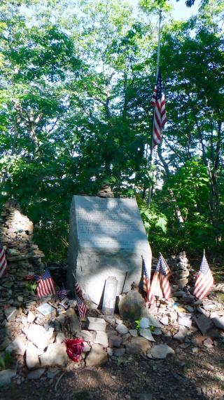
Audie Murphy memorial

There have been a number of plane crashes in the mountains along the trail, including the one I walked near while in the Smokies, but the plane crash that happened on this mountain must rank as the most famous.

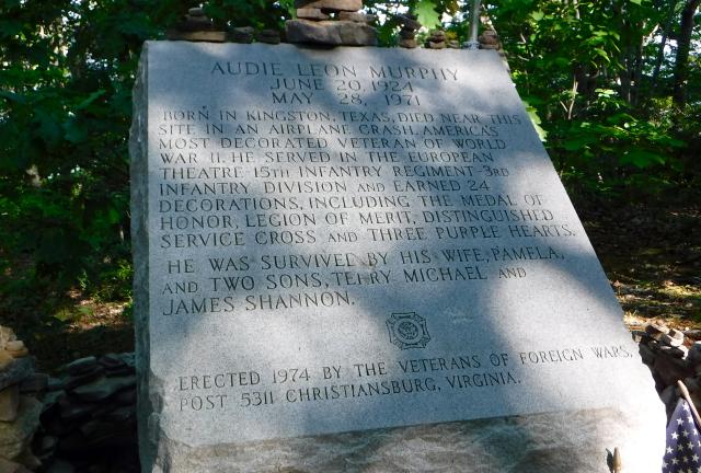
War hero and movie star Audie Murphy died here on a rainy morning in May 1971.

Murphy was the most decorated U.S. soldier of World War II. He later used that fame to become a movie star, despite suffering from what we call today posttraumatic stress syndrome (PTSD).

Among his many war honors was the Medal of Honor for valor, which was awarded to him after he single-handedly fought an entire company of German soldiers by firing on them from a crippled M10 tank destroyer. Through his actions, 50 Germans were killed or wounded. He then rallied his men to mount a successful counterattack.

He did that while wounded.

He was also out of ammunition.

And he was 19 years old.

After the war Murphy became addicted to sleeping pills while suffering from insomnia and bouts of depression, yet still he managed to become one of the most well-known movie stars of his day. From 1948 to 1969 he appeared in more than 40 feature films and one television series.

Murphy, the plane’s pilot, and four other passengers died when their plane crashed into the side of Brush Mountain. The impact was about 300 feet below the mountain top.

Audie Murphy memorial

A granite marker was placed here on the mountain in November 1974 by the Veterans of Foreign Wars post from Christiansburg, Va.

At the time, the AT did not go this way, but was rerouted over the mountain in 1991, with a short side trail leading to the monument.

After stopping to view the marker, I returned to the trail, which continued to be easy to walk.

View from the trail

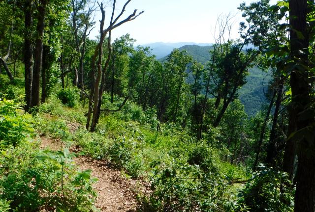
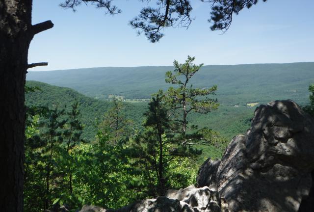
Later, though, the walking began to be more difficult as the trail became more rugged. I followed it down the mountain, passing some open areas along a ledge, which offered a nice view.

Junction of Virginia Highway 620

Just after 11 a.m. the trail reached Virginia Highway 620, which really only amounted to a gravel road. Trout Creek was also here.

It was a little early to stop for lunch, but I knew I had another big climb ahead of me, so I stopped.

I remained confident I was still on target for arriving at the hostel by 4:00.

Sunny trail

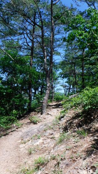
The climb after the road didn’t seem too difficult, but it was hot. With a full sun and a few open sections of trail, the temperature was reaching well into the 80s.

Rock piles

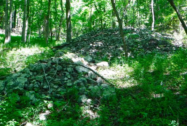
The trail again passed some large piles of rocks, similar to yesterday. It’s hard to imagine how much work it must have taken to move all those rocks.

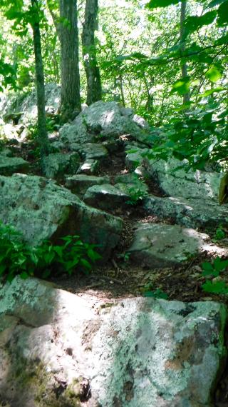
Unfortunately for hikers, there were still plenty of rocks that were not moved.

View from the trail

As the trail continued to climb it became more difficult to walk. Like the sweat dripping from face, my confidence of reaching the hostel at my planned time began to drip away.

Several large boulders appeared at the top of the mountain. They created an obstacle course, which slowed me down more than the heat.

Rocky trail

I pressed on, though, hoping I was only losing a few minutes from my intended arrival time at the hostel.

Five weekend hikers passed me as they headed southbound, and one of them stopped to let me know about what was ahead.

I didn't like hearing what he told me. He said the descent after Dragon's Tooth was very challenging and would slow down my pace.

This was the first I learned of the difficult trail ahead. What he didn't mention was that the remaining part of the trail before Dragon's Tooth would also slow me down.

Eventually I reached the short side trail to Dragon's Tooth. Near here was the 700-mile point of the trail.

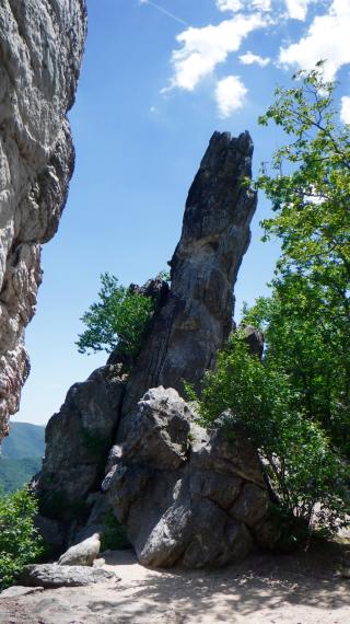
Dragon’s Tooth

Dragon’s Tooth is a popular destination for day hikers, and being a Saturday with beautiful weather, there were several of them here.

The ridge is an outcrop of rocks, the tallest of which is about 35 feet higher than the surrounding rock.

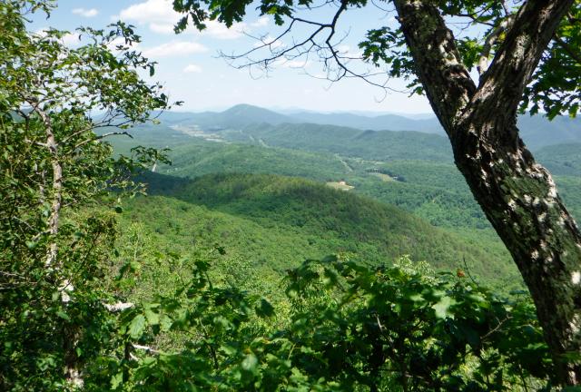
View from Dragon's Tooth

I didn't try to climb the rock, but there were ledges that provided views of the valley and distant mountain ranges.

Now was when the fun began.

I headed down the trail, or at least I thought it was a trail. It was hard to tell because there were so many day hikers scrambling every which way, picking their way up the steep and rocky terrain.

In the confusion of people and rocks I failed to see a white blaze pointing to a turn in the trail, and I continued down a false trail.

It didn’t feel right, but I saw evidence of other hikers going this way, so I continued.

Before long, though, a nagging feeling that this was not the trail took over. I stopped, checked my navigation app, and confirmed I was heading in the wrong direction.

When I got back on the trail, it didn’t improve. I passed a woman who was sobbing in fear. She was having a panic attack, knowing that she would have to return down the same way she came up.

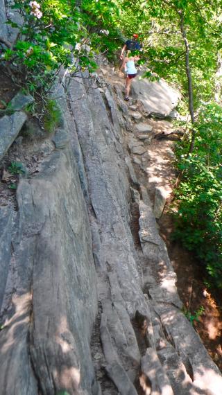
Descent from Dragon’s Tooth

I didn’t sob when I reached a shear rock drop-off, but I did question the wisdom of the trail maintainers.

Or I used words to that effect.

In all, it took me about an hour to go six tenths of a mile down this sometimes treacherous path.

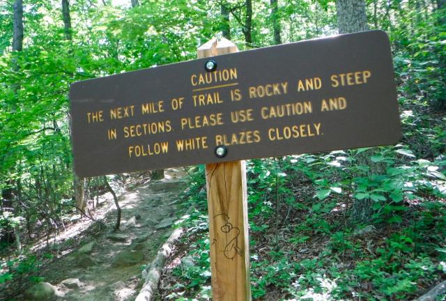
Trail warning sign

I just shook my head when I reached a sign warning hikers going up to Dragon’s Tooth about the difficulty of the climb. There was no such warning for hikers like me, who had come down from the top.

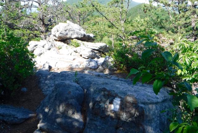
Rock ledge

After passing a trail for day hikers to return to a parking lot, I didn’t see anyone else on the trail. Unfortunately, the trial didn’t get any easier for another mile or so.

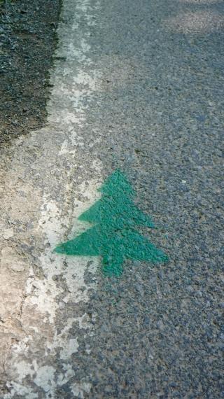
Tree painted on road

I finally reached the highway leading to the hostel at 5:10 p.m., more than an hour later than I had planned.

Green pine trees were painted on the road to mark the route to the hostel.

Four Pines Hostel

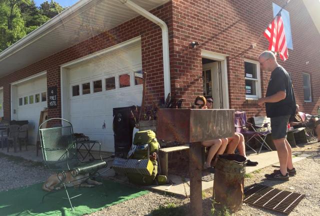
The hostel was a three-bay garage near a house. Inside were an odd collection of cots and mattresses that made the place look like a garage sale. There was also a small, grubby bathroom with a shower.

The owners operate it on a donation basis. I’m guessing this allows them to dodge a lot of health department regulations and accounting practices.

Despite its lack of, well, polish, this place is ranked as one of the most popular hostels on the trail.

Perhaps one reason for its popularity is it is near The Homeplace Restaurant, one of the best restaurants anywhere near the trail.

Shortly after I arrived a van load of hikers returned from a visit to the restaurant. I was pleased to learn another shuttle run was leaving as soon as there were enough people to fill the van.

I got cleaned up, and shortly after 6 p.m. several of us piled in the van for a short ride to the restaurant.

Eating at The Homeplace Restaurant

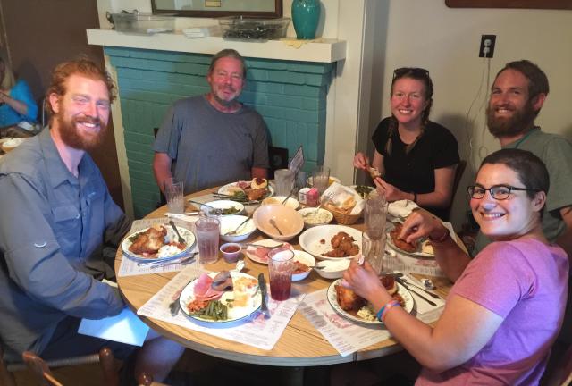
The Homeplace looked much too nice for grubby hikers like us, but we soon learned the owners were very accommodating. They didn’t even try to seat us away from other customers.

Ham, roast beef, fried chicken, cole slaw, green beans, corn, mashed potatoes and gravy, and biscuits with apple butter were served family-style. When we emptied a bowl or plate of food, we only had to ask and another full one was quickly brought to us.

It was gluttony on a massive scale, but Barefoot, Slow and Steady, Tater Tot, Bags, Furiosa and I all behaved in a reasonably-civilized manner.

Once we had our fill, we then ordered desert, which was a choice of cobbler, with or without ice cream.

During dinner, a woman sitting at a table next to us asked if we were hikers. It should have seemed obvious, but her question was really just a way for her to ask if she could interview us. She said she was a reporter for the Roanoke Times.

I presume she was a feature reporter, not a crime reporter there to cover the destruction wrought by six hikers on a dining room table.
Once we finished dinner, our shuttle driver, Medicine Man, took us to a convenience store so that we could buy groceries and beer.

I shopped for a few items, but I expected I would be able to return tomorrow. I had decided to take a zero day at Four Pines so that I could wait for Stick to return from his conference on Monday.

An opportunity for a return visit tomorrow to The Homeplace Restaurant may or may not have influenced that decision.

No one said it would be easy
But no one said it'd be this hard
No one said it would be easy
No one thought we'd come this far

This trail report was published on